Mendocino National Forest
The Mendocino National Forest straddles the eastern spur of the Coastal Mountain Range in northwestern California, just a three hour drive north of San Francisco and Sacramento.
The only one of California's 18 national Forests not crossed by a paved road or highway, the Mendocino National Forest is especially attractive to people seeking an outdoor experience of tranquility and solitude. The Forest, however, is a working forest as well as a recreation haven, and resource activities such as logging and grazing do occur on both National Forest lands and private holdings within the Forest.
Some 65 miles long and 35 miles across, the Forest's 913,306 federally owned acres of mountains and canyons offer a variety of recreational opportunities - camping, hiking, backpacking, boating, fishing, hunting, nature study, photography, and off-highway vehicle travel. For those interested in wilderness in the forest, the forest boast several designated Wilderness Areas.
Elevations in the Forest range from 750 feet in the Grindstone Creek Canyon in the Sacramento Valley foothills on the Forest's eastern edge to the 8092 feet of South Yolla Bolly Mountain in the northern part of the Forest. The average elevation is about 4000 feet.
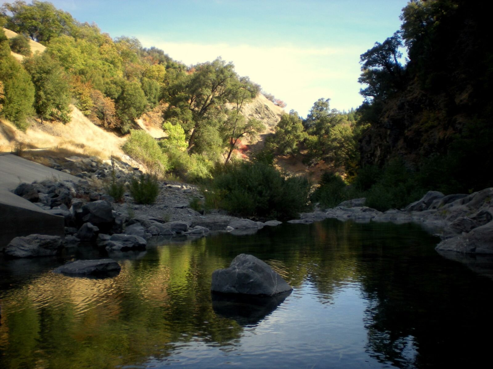
The waters of the Mendocino flow to the Pacific Ocean, westward through the Eel River system, and eastward through the Sacramento River system to San Francisco Bay.
All of the Ranger Districts have a wide variety of wildflowers that bloom at various times through spring and summer. Vegetation types include mixed conifer forests, oak woodlands and savannah, chaparral, annual and perennial grass glades, and wet meadows.
The Districts also share many species of wildlife in common. The Upper Lake Ranger District has a small population of tule elk. Salmon and steelhead spawn in streams of the Covelo and Upper Lake Ranger Districts, and rainbow trout, western pond turtle, and yellow-legged frog live in and around many of the streams of each of the three Districts.